UN
183 Banstead Road
£ 287,500
Description
We don't have a Description for this property.
- Bedrooms
- 4
- Bathrooms
- 0
- Sqft
- 2,268.00
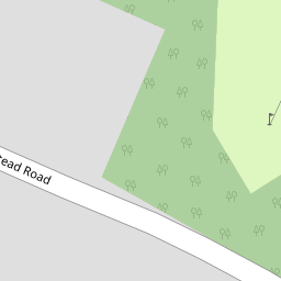

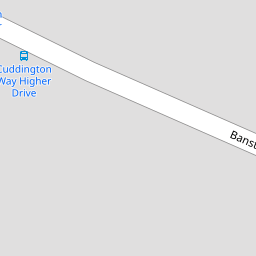


Leaflet © OpenStreetMap contributors
The heatmap indicates the level of crime in the area. The color of the heatmap indicates the crime severity and recency.
Metrics Year-on-Year
- Average area value
- 906,511.00 £Decreased by 10.54 %
- Est sale value
- 1,281,420.00 £Decreased by 75.63 %
- Average area rental value
- 2,414.00 £/moIncreased by 3.03 %
- Est letting value
- 2,268.00 £/moDecreased by 80.00 %
- Est rental Yield
- 3.20 %Increased by 15.52 %
- Crime Rate
- 5.00 %Unchanged by 0.00 %
from 1,013,333.00 £
from 5,257,224.00 £
from 2,343.00 £/mo
from 11,340.00 £/mo
from 2.77 %
from 5.00 %
Nearby Schools
| Name | Type | Ofsted | Distance |
|---|---|---|---|
| Warren Mead Junior School | Academy Converter | Good | 1.38 KM |
| Warren Mead Infant School | Academy Converter | 1.51 KM | |
| Cuddington Croft Primary School | Academy Converter | Good | 1.79 KM |
| Nonsuch High School For Girls | Academy Converter | Good | 2.14 KM |
| North East Surrey College Of Technology | Further Education | Good | 2.28 KM |
Images
Nearby Streets
| Name | Average Price | Average Sqft | Distance |
|---|---|---|---|
| Acacia Drive | £ 625,000 | 0 | 0.00 KM |
| Fairview | £ 1,250,000 | 0 | 0.00 KM |
| Birch Close | £ 625,000 | 0 | 0.00 KM |
| South Drive | £ 0 | 0 | 0.00 KM |
| West Drive | £ 0 | 0 | 0.00 KM |
Nearby Transport
| Name | NLC | TLC | Distance |
|---|---|---|---|
| Banstead | 5348 | BAD | 1.52 KM |
| Epsom Downs | 5361 | EPD | 2.08 KM |
| Ewell East | 5415 | EWE | 2.08 KM |
| Cheam | 5352 | CHE | 2.46 KM |
| Belmont | 5350 | BLM | 3.02 KM |
Nearby Listings
| Address | Price | Type | Score | Distance |
|---|---|---|---|---|
| Banstead Road, Banstead, SM7 | £ 1,400,000 | BUY | Unknown | 0.09 KM |
| Higher Drive, Banstead, Surrey, SM7 | £ 1,800,000 | BUY | 8 / 10 | 0.17 KM |
| Higher Drive, Banstead | £ 1,395,000 | BUY | 7 / 10 | 0.22 KM |
| Higher Drive, Banstead | £ 1,400,000 | BUY | 9 / 10 | 0.24 KM |
| Higher Drive, Banstead | £ 1,450,000 | BUY | 7 / 10 | 0.24 KM |
Nearby Properties
| Address | Price | Distance |
|---|---|---|
| 157 Banstead Road | £ 485,000 | 0.00 KM |
| 181 Banstead Road | £ 950,000 | 0.00 KM |
| 163 Banstead Road | £ 540,000 | 0.00 KM |
| 161 Banstead Road | £ 1,050,000 | 0.00 KM |
| 153 Banstead Road | £ 1,030,000 | 0.00 KM |